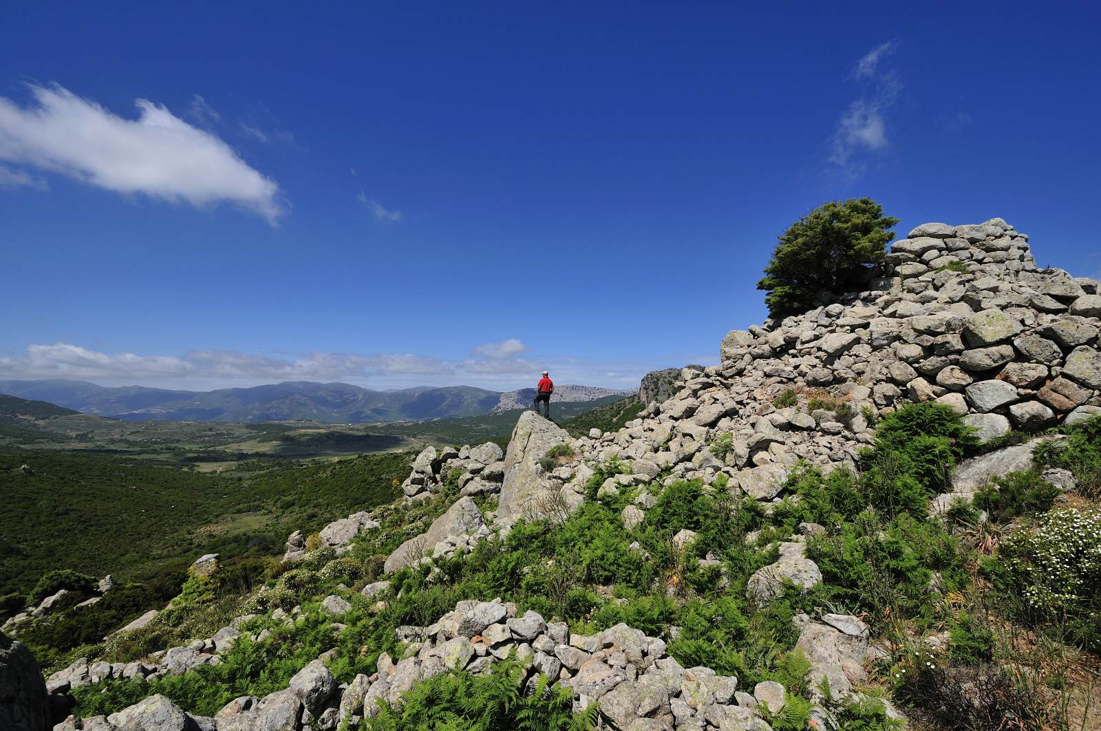
The Nuraghe Orgoduri
At about 500 metres as the crow flies from the church of St. Peter is the nuragic complex of “Orgodùri”. This important archaeological site (which collectively is currently unreadable both on the floorplan and in elevation) includes a large, structurally complex nuraghe, of the “a tholos” type, situated at the top of a hill, and a village with about twenty circular huts, that can be traced all the way around the base of the small hill. The “Orgoduri” Nuragic site’s main tower is surrounded by a straight-curve shaped bastion, which appears to contain at least two towers that were added later. The archaeological site covers an area of about 10,000 square metres, on land that is flat to the east, but steep to the west with an almost sheer drop on a gully that has since run dry, but was once probably a river. The hypothesis that there was once more water in the area around the nuraghe seems to be confirmed by the name of “Orgoduri” itself, which etymologically refers to the Paleo-Sardinian root “org-” (“fountain, spring, marshy area”) present in many place names in the territory of Baunei (such as the nearby “Orgìttala”, a few hundred metres from “Orgoduri”, and “Orgosìo”, a name found in two different locations) and throughout the rest of the island (such as, for example, “Orgòsolo”).
In the late eighties, when the state of conservation of the site was better than it is now, the nuraghe was studied and analysed by archaeologist Maria Rosaria Manunza during research conducted in Ogliastra between 1980 and 1987 on behalf of the Archaeological Superintendence of the provinces of Sassari and Nuoro. On that occasion, Manunza highlighted the particular characteristics of one of the huts: “An external defence wall surrounds the monument from the rock formation at the precipice of the codula and encloses a number of living quarters to the north. One of them (…) paved with slabs of limestone, was probably used as a textile workshop, judging by the numerous spindles and loom weights, which must have been kept on wooden shelves, found during a trial excavation, next to the north wall. Starting from the defence wall is a stone wall, built using smaller sized stones than those in the defence wall, enclosing a small village (about twenty huts) also covered by the collapse”. The huts located at the foot of the hill are still visible from the top of the nuraghe.
CONTATTI
Via San Nicolò, 2 – 08040 BAUNEI (Sardinia, Italy)
infopoint@turismobaunei.eu
+39 349 5462583
RELATED POST

Next to the church of Santa Maria Navarrese is a grand millennial olive tree, which according to botanists had probably already passed its millennium when, according to tradition, the Princess of Navarre settled in these parts in 1052.
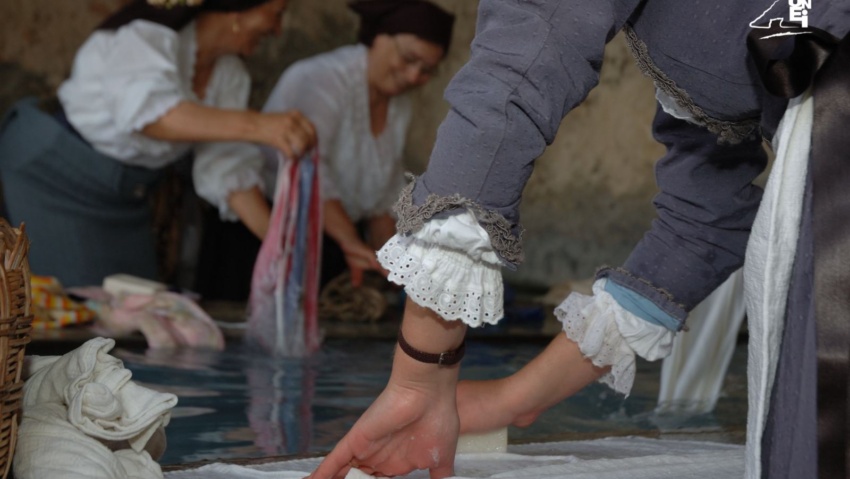
The “Usuonu” Wash-house, Baunei and surroundings. Tourism Baunei.

Inland from Cala Sisine, about an hour’s walk from the beach, it is a very evocative cave, whose very name reveals some curious characteristics: it is called the “Grotta del Miracolo” (“Su Meraculu”, in Sardinian).