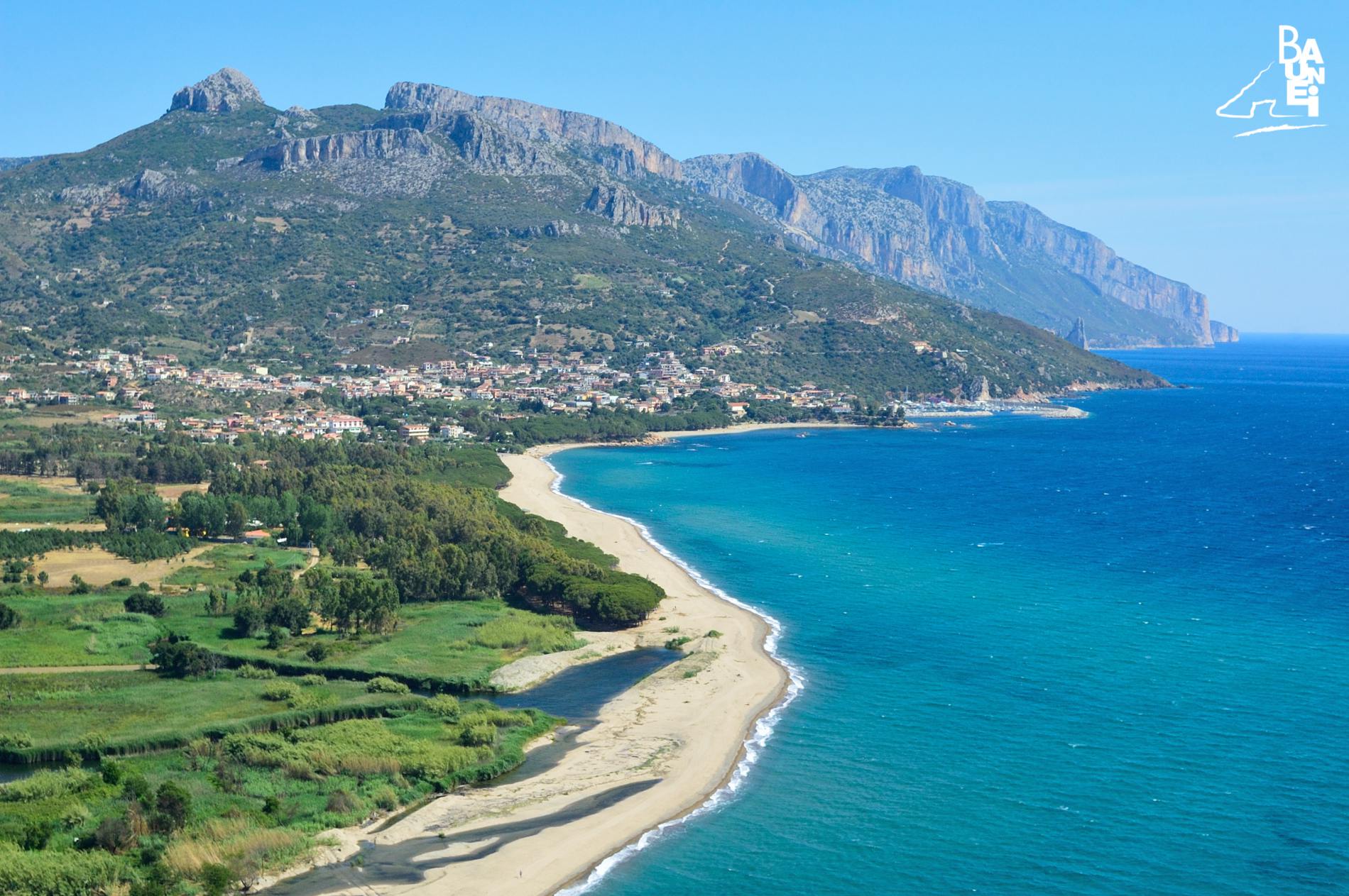
“Tancau”, The Beach On The Border
“Tancau” beach begins south of the “Birissi” rocks, which have marked the border between the municipalities of Baunei and Lotzorai since 1849, and ends at the mouth of “Rio Pramaera”, a kilometre and a half further south. The beach is named after the small hamlet (about 200 inhabitants) in the territory of Lotzorai, which began to expand in the eighties, hand in hand with Santa Maria Navarrese.
In Sardinian, the term “tancau” means “closed” and designates a “private territory that is fenced in” (“tanca” is a synonym), a type of property that, in many villages in Sardinia, where most of the land was collectively owned and subject to civic use, only appeared in 1820 thanks to the “Edict of Chiudende”, promulgated by the Piedmontese rulers with the aim of stimulating the development of agriculture.
Despite the Edict of 1820, in Baunei and Santa Maria Navarrese not even a metre of land was fenced in. In the nearby villages on the plain, however, such as Lotzorai, Girasole and Tortolì, hundreds of hectares became privately owned. In Lotzorai, in truth, small private plots already existed in the eighteenth century and in the years following the Edict few new areas were fenced in. One of them, of a considerable size, as reported by the scholar Luca Porru in a recent publication (2006) on the history of the town, was “Tancau”. “The Comunitativo Council of Lotzorai, – writes Porru – oversaw the application of the Edict relatively late on. Indeed, in 1827, with the help of five specially appointed experts, considering that the municipal area was very small and no one seemed particularly interested in enclosing land, it was decided to fence in only the region called Tancau, which had been an area of privileged grazing for centuries. They are ruins of the original stone walls in an area that, beyond Orzudeni, reaches Tancau along the coastal road to Santa Maria Navarrese”. It seems plausible that from that time onwards, the entire area that now straddles the border between Lotzorai and Baunei, characterised by “fenced in land”, has been generically called “Tancau”.
Private property in Santa Maria came about later on, in the late nineteenth century, with the “land parcelling of Ulbai and Masolce”. Only then did the Baunesis begin to live overlooking the sea, after centuries of isolation in the mountains. Only then did the history of the village of Santa Maria Navarrese start.
RELATED POST
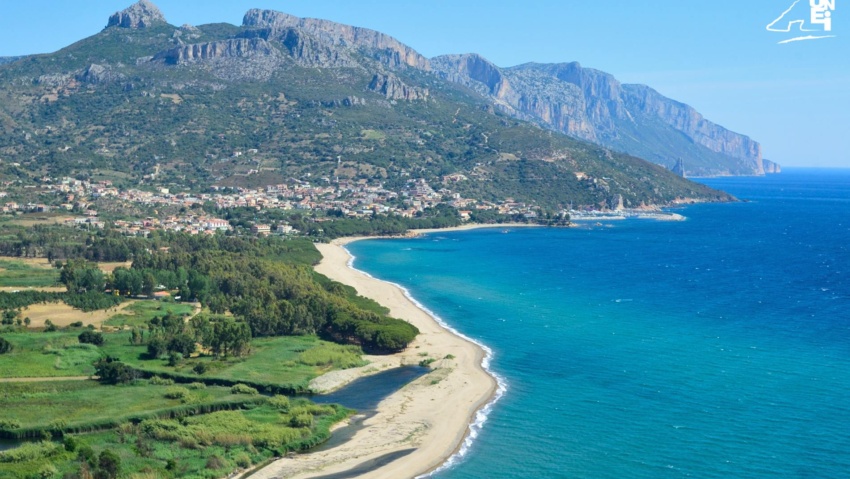
The ‘Tancau’ beach begins south of the ‘Birissi’ rocks, which have marked the border between the municipal territories of Baunei and Lotzorai since 1849.
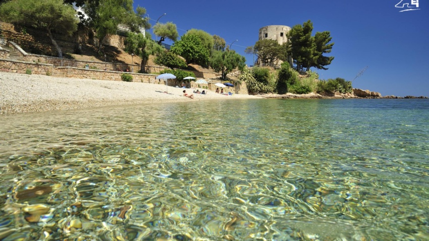
The “Central Beach” in Santa Maria Navarrese stretches from the rocks under the “Spanish Tower” to the rocks known as “di Birissi”.

Next to the church of Santa Maria Navarrese is a grand millennial olive tree, which according to botanists had probably already passed its millennium when, according to tradition, the Princess of Navarre settled in these parts in 1052.