Centro di documentazione
L’ideale punto di partenza di un viaggio alla scoperta di Baunei e Santa Maria Navarrese è il “Centro di Documentazione” di Via Orientale Sarda, che offre uno sguardo d’insieme sul significato della millenaria interazione dell’uomo con l’ambiente nel vasto territorio baunese.
Il “Centro di Documentazione” si trova nell’edificio che fino agli anni Ottanta ha ospitato la locale stazione dei Carabinieri; con la costruzione della nuova caserma nel rione di Monte Colcau, nella “caserma vecchia” fu trasferita la Biblioteca Comunale (fino ad allora ubicata in una sala del Municipio). Il successivo trasloco della Biblioteca nei locali dell’ex Liceo Scientifico di Via San Nicolò, chiuso nel 2000, lasciò a disposizione della comunità il vecchio edificio, che dal 2006 ospita il Centro. Si tratta di un polo museale interattivo che si sviluppa su tre diversi livelli: piano terra, seminterrato e primo piano.
Al piano terra un sistema informativo, consultabile sul computer, mette a disposizione del visitatore schede di approfondimento tematico. Tra il piano terra e il seminterrato una serie di immagini ripercorre all’indietro “il salto cronologico, in scala geologica, dall’uomo all’emersione delle formazioni calcaree”. Nel seminterrato la “Sala Naturalistica” presenta una stratigrafia tridimensionale dell’altopiano di Golgo e dei pannelli didascalici su aspetti geologici e geomorfologici, e su endemismi della flora e della fauna. Sempre nel seminterrato è esposta una riproduzione in scala di una porzione della “Grotta del Fico”.
Dal piano terra al primo piano è affrontato il tema “dalla comparsa dell’uomo ad oggi”, con la rappresentazione, sulle pareti, delle grandi tappe della storia della Sardegna dalla Preistoria all’Età Moderna. L’interrelazione tra l’uomo e l’ambiente è illustrata al primo piano, con un approfondimento dedicato ai miti e alle leggende che dimostrano come il territorio ha influito sull’immaginario collettivo della popolazione locale. Al primo piano sono esposte anche le riproduzioni di otto carte topografiche, datate 1849, provenienti dal cosiddetto “Catasto De Candia – La Marmora”, realizzato da un’equipe di topografi guidata dal Capitano De Candia negli anni Quaranta dell’Ottocento e conservato in originale nell’Archivio di Stato di Cagliari (Fondo Real Corpo di Stato Maggiore, la prima cartografia completa della Sardegna). Le didascalie delle carte rimarcano, fra le altre cose, che il lavoro di De Candia e La Marmora “è storicamente importantissimo per la delimitazione delle giurisdizioni comunali”.
CONTATTI
Via San Nicolò, 2 – 08040 BAUNEI (Sardinia, Italy)
infopoint@turismobaunei.eu
+39 349 5462583
RELATED POST
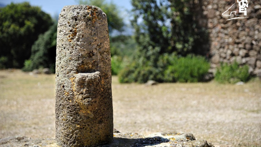
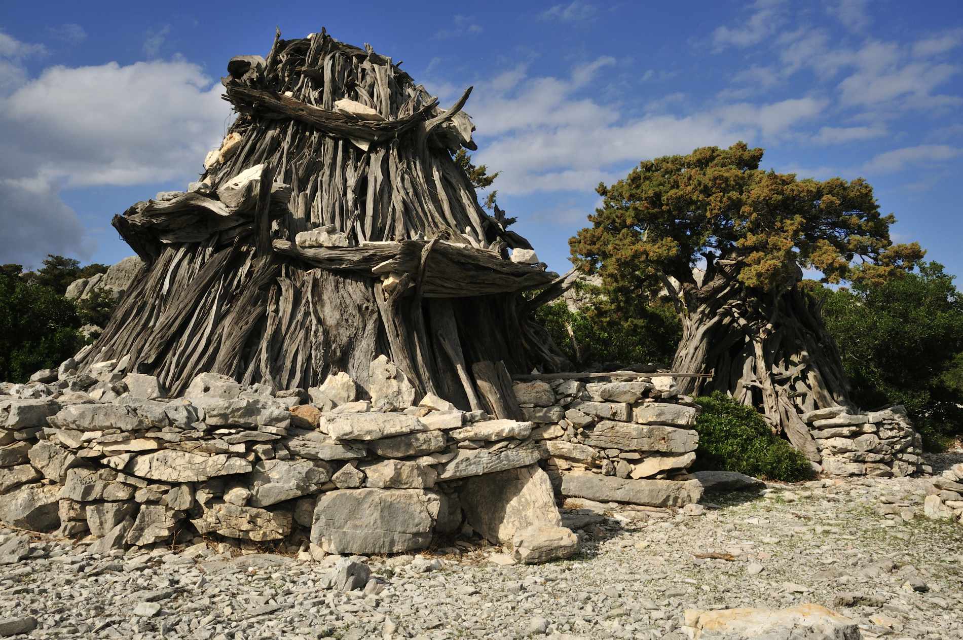
Il “Bètilo di Golgo” è situato nel piazzale di fronte alla chiesa di San Pietro, è uno dei monumenti di epoca nuragica più noti del territorio di Baunei.
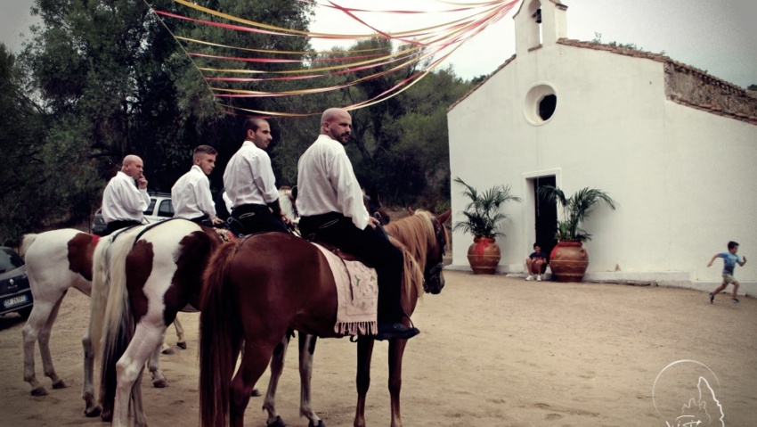
Costruita nel Seicento, è la chiesa campestre più vicina al centro abitato di Baunei (3km), facilmente raggiungibile passando per la strada di Usuonu.
“SU STABILIMENTU”, L’ANTICA CAVA LITOGRAFICA: la litografia fu per lungo tempo un sistema di stampa fra i più pratici ed efficienti.